Hardscrabble Peak


Length: 4 miles (round-trip)
Duration: 2 to 4 hours
Difficulty: Easy to moderate
Elevation Gain: 1,900
Activities: Hiking, trail running, skiing
Crowds: Light traffic
About
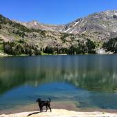
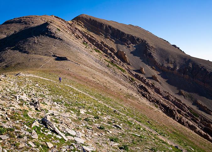
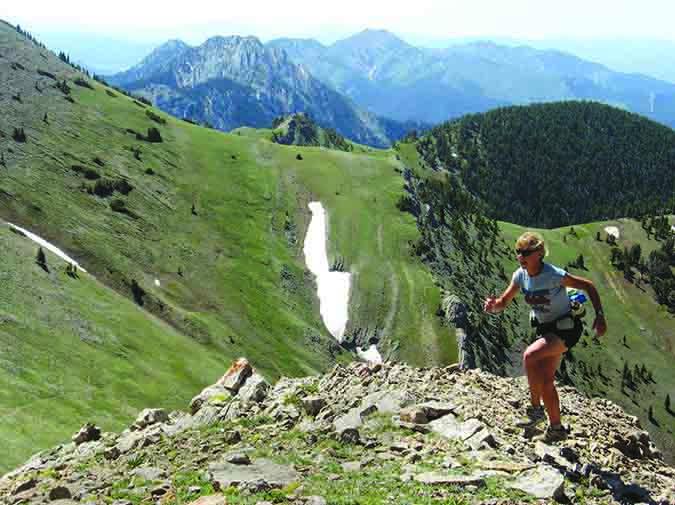
While Hardscrabble is not technically identified as a trail, it's still a good hike. The first part of the trail also leads into other nearby options for recreating. This trail takes you up several switchbacks with wide views and wildflower meadows. Two miles in, you'll reach the Sacagawea Saddle (and a large cairn); take a hard right north to climb 700 feet to the peak of Hardscrabble. From there you can see six surrounding mountain ranges: the Gallatins, Madisons, Crazies, Tobacco Roots, Elkhorns, and Big Belts. At the saddle you can choose from four other trails: North Cottonwood, Corbly Gulch, Bridger Foothills (to Ross Peak and the M), and Sac Peak. Hike out-and-back or park a shuttle car at the trailhead of one of those four trails. Look out for mountain goats!
Seasonal Conditions
The road to Fairy Lake is impassible during the winter and closed beyond the ranch gate about one mile in. You can ski the trail—experts only—during the winter.
Directions
Head north from Bozeman on Bridger Canyon Rd. Veer left at the Bracket Creek Y and go up and over Battle Ridge Pass. Just after cresting the pass, look for signs for Fairy Lake Rd. It will be the first left, take it and continue to the end. When you arrive at Fairy Lake Campground, turn right and park 200 yards ahead at the signed trailhead on your left. The road is extremely rough and conditions can vary depending on the time of year. Cars with low clearance will not fare well.

Map courtesy of Robert Stone's Day Hikes Around Bozeman, Montana.
45.9072759, -110.9642668