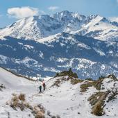
Gettin' Stoned
Hiking the Stone Creek trail.
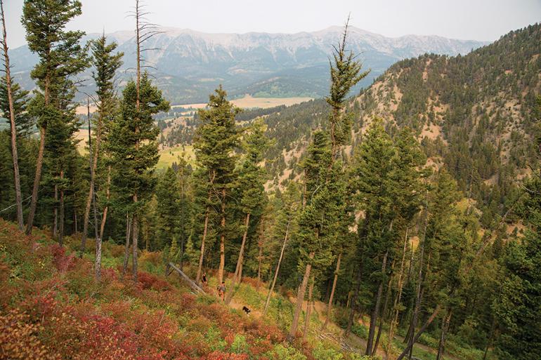
Starting at the southern end of the Bangtail Divide and heading east, the Stone Creek Trail climbs to the crest of the Bangtail Range and weaves through evergreen forests and open, rolling meadows. Throughout the hike are great views of the Bridger Mountains and the surrounding terrain, including Stone Creek Canyon and Spring Creek Canyon.
Vitals
Hiking distance: 6 miles round-trip
Hiking time: 3 hours
Elevation gain: 2,000 feet
Maps: USGS: Grassy Mountain
Beartooth Publishing: Bozeman Area
USDA: Gallatin National Forest West Half
Driving Directions
From downtown Bozeman, head north on N. Rouse Ave. Drive 12 miles up Bridger Canyon to Stone Creek Rd. on the right. Turn right and continue just over a mile to the posted trailhead parking area on the left.
Hiking Directions
Walk 50 yards up Stone Creek Rd. to the posted trailhead on the right. Head up the south canyon wall, weaving through an open pine forest. Zipper up the hillside at an easy uphill grade with the aid of 22 switchbacks. Along the way, views open up across Bridger Canyon to the east slope of the Bridger Mountains and up Stone Creek Canyon.
After the switchbacks, the trail reaches a signed ridge at an old logging road. Cross the road and follow School Gulch Canyon at a level grade above School Gulch Creek. At the upper end of the minor canyon, curve left to a grassy saddle straddling both Stone Creek and School Gulch Creek canyons. Curve right, leaving the ridge, and traverse the slope, with alternating views into Stone Creek Canyon and Spring Canyon. Return to the ridge atop a grassy meadow. Parallel the ridge and drop into another open meadow. Continue straight ahead, crossing the rolling terrain while enjoying the great views of the Bridger peaks. At 3.5 miles, switchback left and head north. Skirt through a pocket of lodgepole pines, crossing the head of Stone Creek Canyon. This is the turn-around point for a 6-mile round-trip hike.
To extend the hike, the trail continues another 7 miles to Bishop Park Rd. and 13 miles to Olson Creek Rd. by Grassy Meadow. From the meadow, the Bangtail Divide Trail continues 7 miles along the Grassy Mountain Trail section to Grassy Mountain and the trailhead at Brackett Creek.
This trail description was adapted from Day Hikes Around Bozeman by Robert Stone.

