History Rock Trail
Length: 2 miles (round-trip) or 10 miles (one-way to S. Cottonwood Creek Trailhead)
Duration: 1-2 hours (round-trip) or 4-6 hours (one-way)
Difficulty: Easy to moderate
Elevation Gain: 300 or 1,300 feet
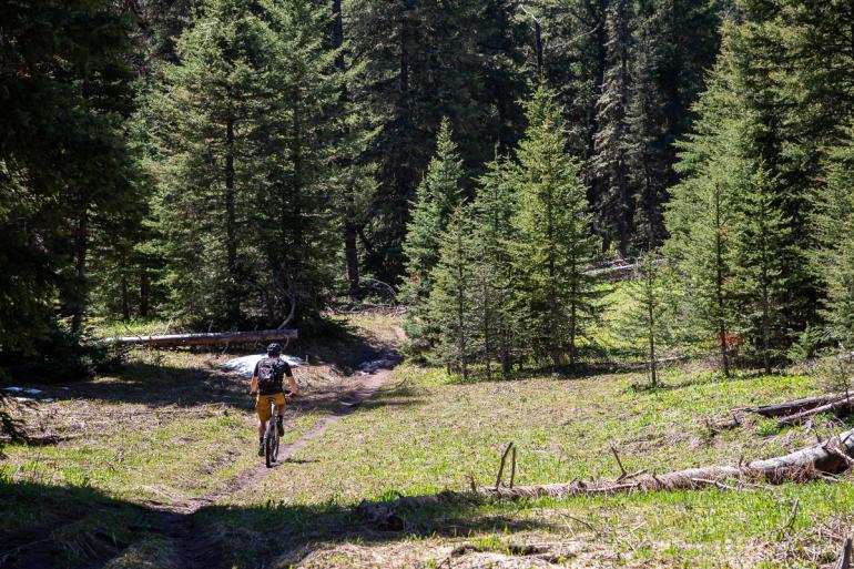
Activities: Hiking, trail running, skiing
Crowds: Heavy traffic
About
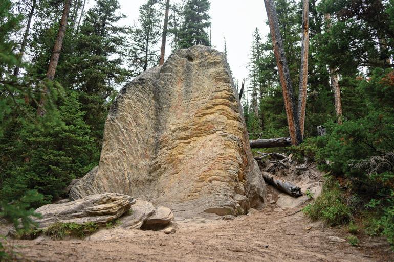
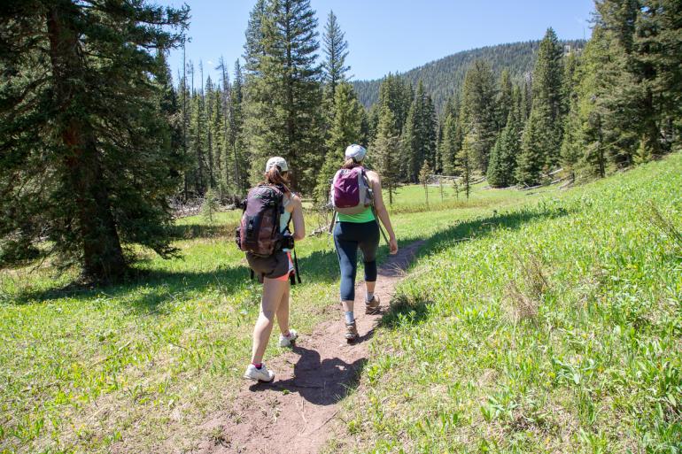
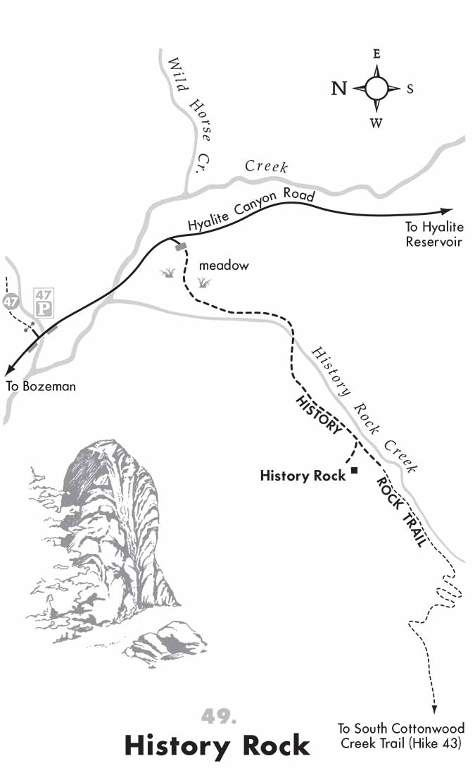
This short, heavily-trafficked destination hike in Hyalite leads to the sandstone rock outcropping known as History Rock. The trail begins through a meadow, crossing and then parallelling History Rock creek. One mile in, History Rock is on your right. For those looking to continue on, History Rock Trail connects to South Cottonwood Creek Trail. Tack on another 9 miles to reach the South Cottonwood Creek trailhead; leave a shuttle car at either location for a fun day trip. Dogs are also able to use this trail but must be kept on leash. Carry bear spray.
Seasonal Conditions
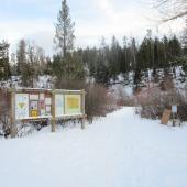
The area around History rock is popular among back-country skiers during the winter.
Directions
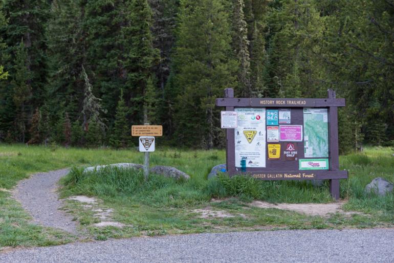
Head south on 19th Ave. and turn left on Hyalite Canyon Rd. Look for signs indicating the trailhead on the right just after the road crosses Hyalite Creek and about a mile before you reach Hyalite Reservoir.
Map courtesy of Robert Stone's Day Hikes Around Bozeman, Montana.

