How Did I Get Here?
Exploring navigation tools.
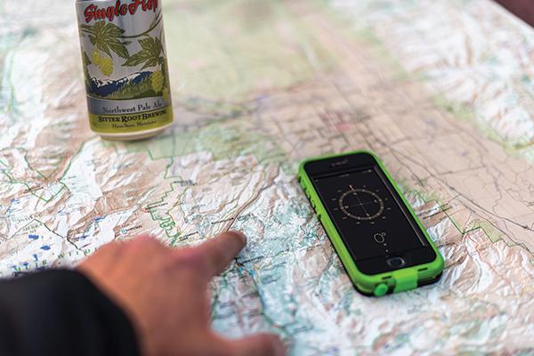
Getting from point A to point B in the backcountry without a navigation tool is tricky. Whether you’re hunting, fishing, biking, or hiking, knowing where you are and where you’re going can save your life, especially in fall, when daylight is scarce and temps drop. But what system is best? Old-school maps, a GPS unit, or apps on your smart phone? Let’s explore the options.
Paper Map
Pros: Unlimited battery life, excellent readability, provide best scale, usually have most detailed topographic information, best for planning ahead, nostalgic value.
Cons: More difficult to read, require orienteering skills, can get wet and ruined, inexact land-ownership info.
GPS
Pros: Replaceable batteries and longer life than a cell phone, performance in extreme heat or cold, up-to-date land-ownership information, pinpoint navigation, best for on-the-ground data-gathering.
Cons: Finite battery life, small screen is tough to share or gather “big-picture” info, can require additional downloads or chips for trail and land-ownership overlays.
Cell Phone
Pros: Applications are up-to-date, good land-ownership info, unlikely to be forgotten at home.
Cons: Poor battery life, dependent on service, screen too small for bird’s-eye viewing of terrain.
In Sum
For once, the O/B crew is in total agreement. The best way to stay safein the backcountry is to plan ahead with physical maps and plot your route with a GPS. Carry extra batteries for the GPS, and know how to read your map to locate yourself in the field. Cell phones are a last resort that should probably be kept off until you need them in an emergency, or in airplane mode if you want to take photos.

