Elbow Lake Trail
Length: 15 miles (round-trip)
Duration: 8-10 hours
Difficulty: Difficult
Elevation Gain: 4,000 feet
Activities: Hiking, camping
Crowds: Moderate traffic
About
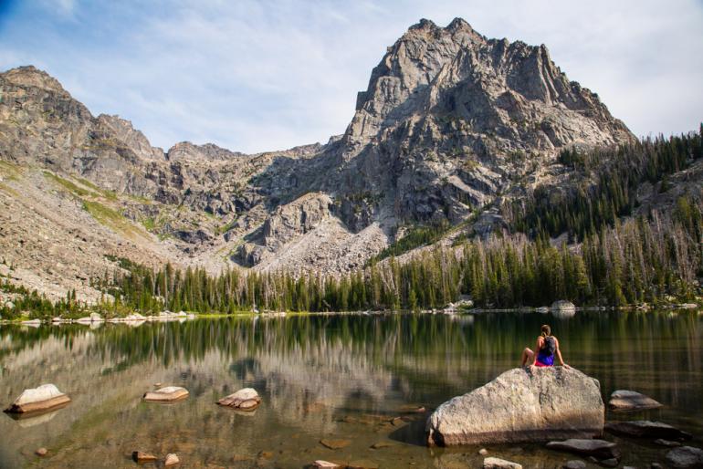
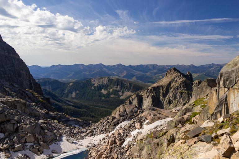
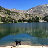
Elbow Lake is a spectacular hiking destination that is quite popular considering its difficulty. The trail is smooth and easy to follow, the elevation gain is hefty but gradual, and the setting is unlike any other in southwest Montana—akin to the higher reaches of the Beartooths, but much closer to Bozeman.
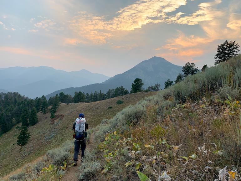
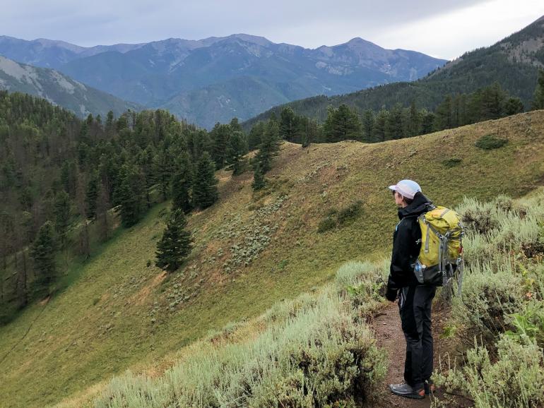
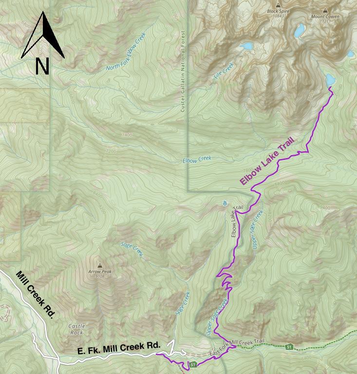
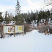
Hiking to Elbow Lake and back in a day is a big outing, but reasonable for any competent hiker. You'll start with a flat circumvention of a private ranch—it might feel like you're going the wrong way for a while. Then you'll climb up through switchbacks over a tall ridge, drop down its other side, then go back up again along Elbow Creek. Signs will point you in the right direction at any trail junctions.
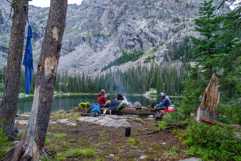
Many visitors bring overnight gear and camp at the lake—there are several dispersed campsites along its shores, and plenty of space in the woods if the lakeside sites are taken. Just keep in mind that the hike will feel much more difficult if you're carrying overnight gear.
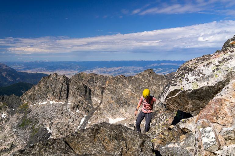
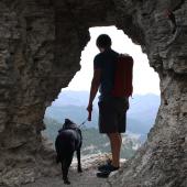
For those looking for even more of a challenge, the summit of Mt. Cowen can be attained by continuing up the cirque above Elbow Lake. This has become a popular "trail run" with Bozeman's über-athletic crowd. Routefinding gets a bit tricky as you near the summit, and some sections are fairly exposed. Some folks may want a rope, some will be fine without. A helmet isn't a bad idea, though—you'll have to ascend a gully and if there's someone above you, rockfall could be a hazard.
Seasonal Conditions
If you want to reach the lake without hiking in snow, July through September is the time to go. You can go earlier but will almost certainly encounter snow in June, so be prepared. For serious backcountry skiers and alpine climbers, the Cowen Massif offers some grand objectives in winter.
Directions
From Bozeman, hop on I-90 east and turn south on Hwy. 89 in Livingston. Drive through Paradise Valley for 15 miles, then turn left (southeast) on Mill Creek Rd. After 9 miles, turn left (east) onto E. Fork Mill Creek Rd and continue for 1.5 miles. The trailhead is where the road dead-ends at a private-ranch gate.


