Down by the River
Running the Black Canyon trail.
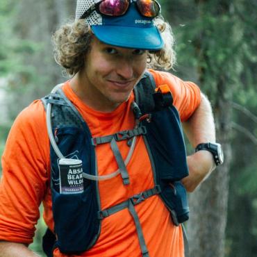
For the last four years, I’ve celebrated the arrival of spring by stashing my skis in the closet and lacing up my running shoes.
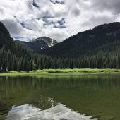
I leave the mountains and head down to low country near the northern entrance to Yellowstone National Park.
There, by early spring, one of the region’s first snow-free trails is waiting beside the Yellowstone River.
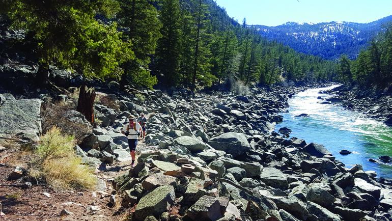
As the snow melts and the ice recedes from the river, the 13-mile trail through the Black Canyon dries quickly and invites runners and hikers alike. After making the mistake of traveling through the canyon solo my first year, I now make it a habit to invite along a few good friends. Or, better yet, at least one who is a bit slower than me. This section of the Park is prime early-season bear country and the Park Service recommends visitors travel together as a large group. I suggest frequent and loud calls of “room service” or “nothing tasty, only GU here.” Plus, with two cars and early-season fitness levels, a shuttle makes the day much more enjoyable.
Approaching from the Blacktail Plateau via Blacktail Trailhead, singletrack weaves among wolf tracks and wandering bison as the trail drops a thousand feet to cross the Yellowstone River. Along the low meadows, the ice-free river leaves winter-killed carcasses along the bank. Big bears travel to feed along the river and a noisy group minimizes your chance of coming too close. The wildlife is dense along the river: deer, sheep, and elk spook and scatter around every curve.

From the bridge, the trail parallels the river on its way toward Gardiner and the northern border of the Park. Many of these miles are smooth, buttery singletrack, but be wary of the unexpected technical climbs to get around the steep cliffs.
Eventually the trail breaks through the dark walls of the canyon and enters the dry, open country just east of Gardiner. Smooth trail leads to a footbridge over Bear Creek and the old domes and remains of hot springs that lie silent near its mouth. Keep an eye out for ospreys returning to the often-used nest near this confluence.
Due to a landowner recently disallowing access, the trail no longer enters town. Instead, the trail finishes with a 1,000-foot climb to the Eagle Creek Campground, near Jardine. This climb is a great final test of spring fitness and a perfect place to look back across the country you just traversed.
Once the car shuttle is done, the Boiling River is a fine remedy for tired legs.
Vitals
Distance: 13 miles
Vertical Gain: 1,500 ft
Vertical Loss: 2,000 ft
Starting Trailhead: Blacktail Deer Creek Trail (NPS)
Ending Trailhead: Eagle Creek (FS)
44.955681490273, -110.59384808055