Mystery in the Madison
Hiking Sphinx Mountain.
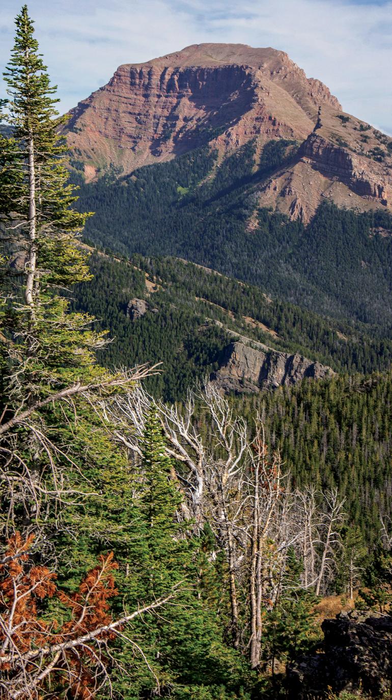
Rising high above the Madison Valley, punctuated by deep, wide ravines on all sides, stands Sphinx Mountain. If you drive Hwy. 287 in the daylight, you’ll be hard-pressed to miss it. This near-11,000-foot massif is one of the most prominent and iconic landmarks in southwest Montana. Looking at it from below is inspiring, but the view on top is even better.
Vitals
Hiking Distance: 14 miles round-trip
Duration: 4-7 hours
Elevation Gain: 4,470 ft.
Maps: Beartooth Publishing: Gravelly Range
USDA: Beaverhead-Deerlodge Central
Driving Directions
From Ennis, head south on Hwy. 287 to Cameron, turning left (east) on Bear Creek Rd. Follow this gravel road for a few miles and a few turns, eventually heading into the mouth of Bear Creek to a marked trailhead and Forest Service cabin.
Hiking Directions
The first couple miles of this trail parallel the Trail Fork of Bear Creek. Expect shady cover and flowing water. Follow this to a junction and take the left branch. Eventually, silhouettes of the Helmet and lower Sphinx summit come into view. Keep meandering and after a couple more creek-crossings, the trail brings you to the saddle between the two peaks.
From here, follow a climbers’ trail that takes off to the right across the steep west face. Contour across the rocks to an obvious break in the cliff. Scramble up the gully or continue on to the west ridge; either way, continue upward for roughly 1,500 ft. and 3/4 of a mile to the summit. At the top, you’ll be rewarded with stunning views of the Madison and Gravelly ranges, as well as the winding blue seam of the Madison River down below. Note: this is griz country, so plan accordingly.


