A Watery Walk
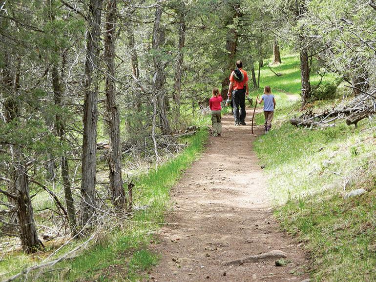
Hiking the Big Creek trail.
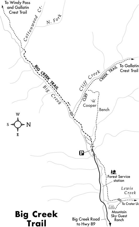
The headwaters of Big Creek begin near the crest of the Gallatin Divide on the east slope of Eaglehead Mountain. The creek travels more than 14 miles eastward en route to the Yellowstone River in Paradise Valley. The Big Creek trail parallels the creek up to Windy Pass, Porcupine Pass, and the Gallatin Crest Trail. This hike takes in the first segment of the trail with little elevation gain, while passing meadows, rock cliffs, talus slides, and creekside wetlands. The Big Creek trail provides eastern access to a number of trails that lead up to the Gallatin Crest. The access trails follow several creek drainages up to the divide between Eaglehead Mountain and Hyalite Peak.
Vitals
Hiking distance: 4.6 miles
Hiking time: 2.5 hours
Elevation gain: 300 feet
Maps: USGS Lewis Creek; USFS Gallatin National Forest: East Half; Beartooth Publishing: Absaroka Beartooth Wilderness
Driving Directions
From Livingston, drive 28.6 miles south on Hwy. 89 to Big Creek Rd. on the right (west) between mile markers 24 and 25. Turn right and continue six miles to the posted trailhead parking area on the left at the end of the road. (There is a fork with Hyalite Creek Rd. at 3.6 miles—stay to the left.) Big Creek Rd. is 6.7 miles south of Emigrant and 23 miles north of Gardiner.
Hiking Directions
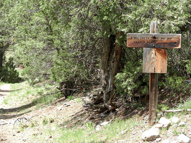
Climb a short hill to where the dirt road narrows to a footpath. Pass through the trail gate to a three-way trail split. To the left, a forested path leads down the hill to meadows along the north bank of Big Creek. The right fork leads up to Cooper Bench. Walk straight ahead on the Big Creek trail, and slowly descend on the north canyon wall high above Big Creek. Pass additional side paths leading down to the meadows along the creek. Gradually drop down the hillside to the edge of Big Creek. Follow the wide creek upstream to a signed junction at 0.6 miles. The Cliff Creek trail veers right. Continue straight, staying on Big Creek trail in a spruce and fir forest. Cross a wooden bridge over cascading Cliff Creek and traverse the mountain, perched on the cliffs above Big Creek. Pass massive lava-rock formations with caves and overhangs. Curve right, heading around a knob in the mountain. Bend left and descend to the banks of Cottonwood Creek above its confluence with Big Creek, the turn-around spot for a 4.6-mile, round-trip hike. To extend the hike, wade across wide Cottonwood Creek, returning to Big Creek. Follow Big Creek upstream and ascend the south-facing slope. The trail continues for 12 miles, climbing to Porcupine Pass (just south of Eaglehead Mountain) and terminating at the Gallatin Crest Trail. The trail also connects to 9,200-foot Windy Pass on the Gallatin Divide.
This article is excerpted from Robert Stone’s Day Hikes around Bozeman. For more info, visit dayhikes.com.

