Ski Tour: Beehive Basin
Approach Distance: 1.5 miles
Approach Gain: 1,000 to 1,500 feet
Skiable Vertical: 200 to 700 feet
Duration: 2 to 3 hours
Distance from Bozeman: 1 hour
Avalanche Hazard*: Low to high
Traffic: Medium to heavy
Overview
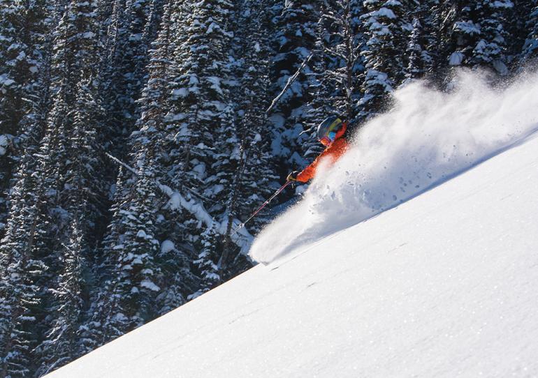
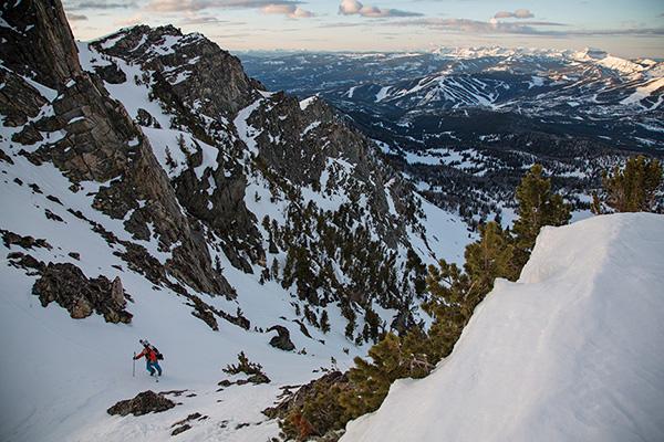
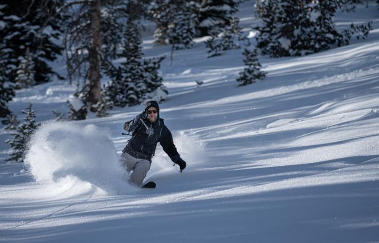
Beehive Basin is one of the premier backcountry locales for easy-to-reach powder turns. It's home to a variety of terrain, offers a reasonable approach, and historically boasts great snowfall. While it's no secret, there's a reason it's in the spotlight. Rise early, hit it on an off-day, or prepare to share ground. There's plenty of room to spread out, however, and Beehive's turns are definitely worth the one-hour drive from Bozeman.
45.307096, -111.384288
Directions
From town, drive south on Hwy. 191 to Big Sky. Turn right at the stoplight and continue west past the Meadow and the entrance to Big Sky Resort. Turn right on Beehive Basin Rd. and follow this road for 1.5 miles to the parking lot on your left. Heads-up for the steep (often slippery) downhill just before the parking lot.
Approach
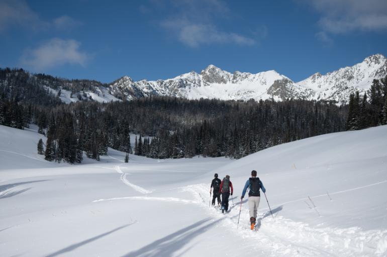
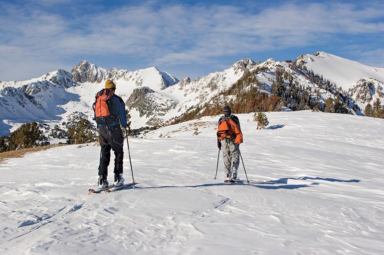
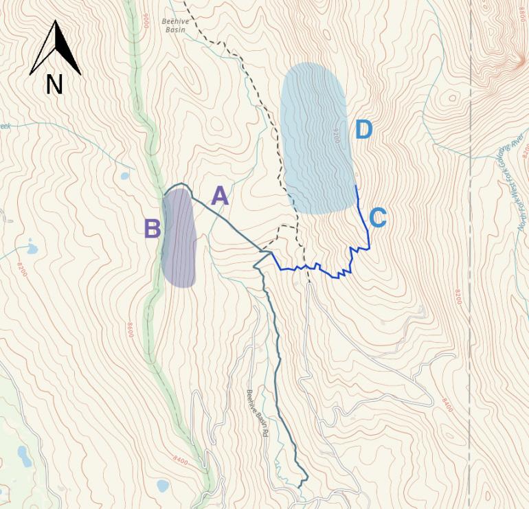
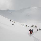
From the parking lot, follow the skin track north and into the predominant drainage about a mile up. This first section cuts through private property, so be sure to stay on the trail. From here, a multitude of options present themselves. Often there will be skintracks heading up to both east and west sides of the drainage. The west side offers the lowest-angled skiable terrain. Skin across a prominent meadow and up the ridge spilling off Beehive Peak (A). To access the east side, turn right (east) before the meadow and climb through trees to a string of prayer flags atop the ridge (B). Gaia GPS route here.
Descent
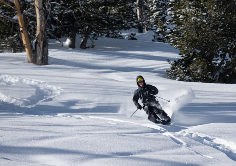
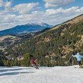
West-side runs are relatively straightforward. Ski the low-angle east-facing trees to the bottom of the drainage (C). Rinse and repeat. Beehive's east side boasts a variety of options depending how much time you have, as well as the avy danger. From the prayer flags, drop west back into Beehive via a multitude of treed runs (D), all of which are over 30 degrees and capable of producing large avalanches. If you have more time, drop east and ski steep glades to the bottom of Middle Basin, or skin the ridge north to the confluence of the next major drainage: Bear Basin. Dropping into Bear offers 1,000 foot runs, though bear in mind (ha) that you'll need to climb back up and over into Beehive to ski back to the trailhead. Middle and Bear basins also contain large, open, avalanche-prone slopes—know before you go.
Avalanche Safety
Beehive Basin and its surrounding drainages contain a wide variety of terrain, much of which can produce large, consequential avalanches. Our description here includes zones that carry a higher avalanche risk—do your research before heading out, and know which slopes are of greater concern. Once on location, follow all accepted avy-safety precautions, including digging pits and avoiding questionable areas. Have a backup plan in case you encounter unexpected conditions. On the ascent, choose routes that minimize exposure to avalanche terrain, and descend one at a time through such terrain, keeping eyes on your partners.
*Avalanche hazard refers to terrain risk only. Always travel with rescue gear, evaluate conditions carefully, and check the forecast before heading out.

