Amble On
Fall is for the road.
This autumn, I think I’ll head west on I-90 to retrace an exploration of more than 20 years ago when my daughter and I happened upon a scrap of Montana history that remains in my mind like a half-remembered dream.
In Butte, I’ll pick up I-15 south and get off in Melrose, a tiny agricultural town beside the Big Hole River. I’ll take Trapper Creek Road across the sprawling river and wander into the Pioneer Mountains. I love to meander on gravel roads—taking a right here, a left there. That long-ago day we happened upon an explanation for the treelessness of the steep mountainsides. High on a hillside we saw a wooden structure we figured had been used to send logs rolling down the hillside to feed the brick charcoal ovens whose remains were at the bottom. Once the near hillside had been cleared of timber, workers had gone down the other side of the mountain, dragged logs to the top and sent them to their fate below.
Another left turn—or perhaps a right—and we understood why charcoal was in such demand. Like one of Tolkien’s towers, the tall brick chimney of a smelter rose over the sparse remains of the old mining center of Glendale. The mountains of western Montana were once not only full of mines, but dotted with small industrial centers.
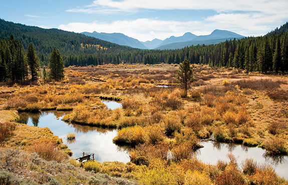
Wise River in the Pioneers
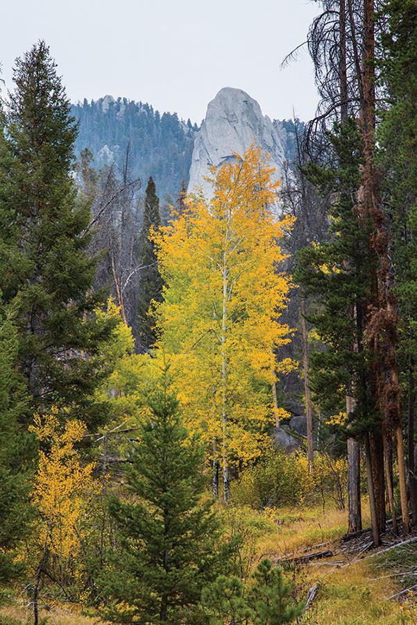
Another lingering image from that long-ago drive is surely well known to climbers. Even for those of us too timid or decrepit to know a crampon from a carabiner, Humbug Spires casts magic. Heading back toward Butte on I-15, take exit 99. Moose Creek Road takes you directly to Humbug Spires, whose geology is even more improbable than the name. Countless granite spires poke up among the trees, some as mysterious as the heads of Easter Island. It’s 3.5 miles from I-15 to the parking area; a four-mile trail leads through the spires. Even an immobilized codger will find the view from the parking area worth the drive.
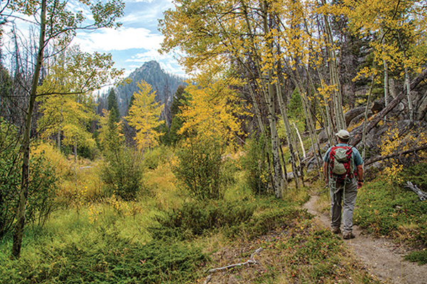
Approaching Humbug Spires
My other trip this autumn will be to the Charles M. Russell Wildlife Refuge, where there’s a special viewing area for voyeuristic humans to observe elk in their annual fornicating frenzy. Hundreds of elk congregate at the Slippery Ann Wildlife Viewing Area around dawn and dusk. Fish and Wildlife authorities provide a 20-mile self-guided tour on a well-marked, all-weather gravel road. I’m advised the height of the rut is the third week of September.
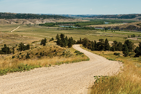
Charles M Russell Nat'l Wildlife Refuge
To get there, take Hwy. 191 north. About 60 miles beyond Lewistown, the highway crosses the Missouri River on the Fred Robinson Bridge. Take the first right to the Slippery Ann viewing area. The road eventually rejoins Hwy. 191 up on the high prairie, and you can follow it south all the way back to Bozeman.

