Poking Around Big Sky
The Porcupine Creek Trail begins near the Gallatin River and climbs nine miles up to its headwaters in Onion Basin at the Gallatin-Yellowstone Divide. En route, the trail gains more than 3,000 feet to the basin and Gallatin Crest Trail along the ridge. Connecting trails lead to the Gallatin Petrified Forest, Eaglehead Mountain, Fortress Mountain, and into Paradise Valley. The first two miles of the trail follow a gentle grade along Porcupine Creek and lead into the Porcupine Elk Preserve. The large, rolling meadows are a vital winter range for elk and home to many coyotes. After the snow melts, moose and deer frequent the meadows.
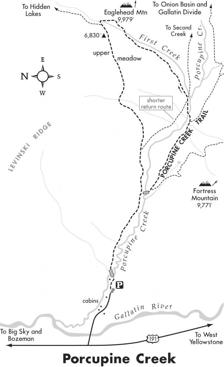
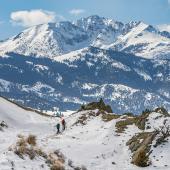
To continue around a loop, the trail follows First Creek (a tributary of Porcupine Creek), which drains a minor canyon to the north. The First Creek Trail parallels the creek up a scenic, forested canyon. The trail returns through high meadows with spectacular 360-degree vistas of the surrounding mountains, including Lone Mountain at Big Sky Resort.
Driving directions: From Four Corners nine miles west of Bozeman, take Hwy. 191 south toward the Gallatin Canyon. Drive 36.5 miles to Porcupine Creek Road on the left, between mile markers 45 and 46. (The turnoff is 2.7 miles south of Big Sky.) Turn left (east) and drive 0.5 miles, passing the log cabins to the trailhead parking area at the end of the road.
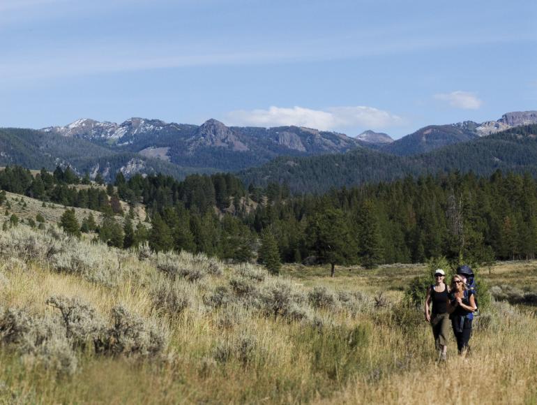
Hiking directions: From the left (north) side of the parking area, walk over a fork of Porcupine Creek. Walk through the forested grassland, and pass a cabin on the left. Cross a bridge over Porcupine Creek and head upstream on the south slope of Levinski Ridge. Parallel the creek through open sagebrush meadows dotted with pine trees. Traverse the hillside on the old dirt road above the creek. The views span every direction. Continue through the open meadow to a Y-fork at 0.8 miles.
Begin the loop to the right, and cross a bridge over Porcupine Creek. Within 50 feet is another junction. Take the left fork and ascend the 200-foot slope. On the ridge, you can see Porcupine Creek placidly flowing through the large, scenic meadow. Descend into the meadow and cross a bridge over a feeder stream to a junction by a wood post at 1.5 miles. The Porcupine Creek Trail continues east to the right.
For this hike, veer left and rock-hop over the creek. Follow the watercourse upstream a short distance to a three-way split. The right fork parallels Second Creek. The left fork returns for a shorter and easier 3.4-mile loop. Take the middle fork straight ahead, passing “trail” signs up the First Creek drainage. Follow the banks of First Creek up canyon, crossing the creek two times. After the second crossing, bend left and climb the hill to the highest point of the hike at 6,830 feet. Cross the upper meadow with its dramatic 360-degree vistas. Slowly but steadily descend, losing 600 feet over the next 1.4 miles. Complete the loop by the bridge. Return to the trailhead 0.8 miles to the right.
This article is excerpted from Robert Stone's Day Hikes around Bozeman.
Porcupine Creek – First Creek Loop
Hiking distance: 6.5-mile loop
Hiking time: 3.5 hours
Elevation gain: 650 feet
Maps: U.S.G.S. Lone Indian Peak

