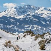
A Gneiss Easy Hike
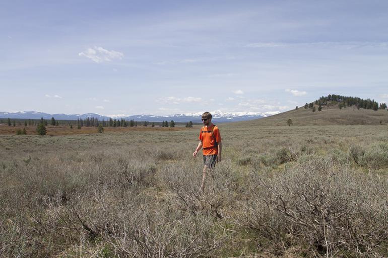
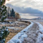
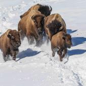
The entire length of the Gneiss Creek Trail traverses 14 miles through the Madison Valley. The trail, which lies mostly within Yellowstone National Park, connects the Gallatin with Madison Canyon and the Madison River. This hike follows the first section of the Gneiss Creek Trail from the northwest trailhead in the Gallatin. The path strolls through the beautiful, open terrain to Campanula Creek, a tributary of Gneiss Creek. The valley is abundant with wildlife, including trumpeter swans, which nest along the riverbanks.
Driving directions: from Four Corners, 9 miles west of Bozeman, take Hwy. 1 91 south towards the Gallatin Canyon. Drive 72.2 miles (38.4 miles south of the Big Sky turnoff) to the signed trail on the left between mile markers 9 and 1 0. Turn left and park in the area straight ahead, past Fir Ridge Cemetery. From West Yellowstone, the trailhead is 1 0.6 miles north on Hwy. 1 91 .
Hiking directions: Follow the old, grassy two-track road east through aspen and pine groves. Cross a small rise and parallel the signed Yellowstone Park boundary. At .3 miles, the trail enters the Park at a sign-in register. Continue along the ridge above Duck Creek and Richards Creek to the south. Head east along the rolling hills. The trail gradually loses elevation past the forested slopes of Sandy Butte to the right. At the east end of Sandy Butte, descend into the draw to Campanula Creek. Follow the creek upstream a short distance to the creek crossing, the turn-around point for this hike.
To hike farther, cross the creek and continue southeast through the open, flat valley along Gneiss Creek. There are several creek crossings en route to the southern trailhead at the Madison River bridge.
This article is excerpted from Robert Stone’s Day Hikes around Bozeman.
Hiking distance: 3.6 miles round trip
Hiking time: 2 hours
Elevation gain: 300 feet
Maps: U.S.G.S. Richards Creek
Beartooth Publishing: Bozeman, Big Sky, West Yellowstone
Trails Illustrated: Mammoth Hot Springs

