Epic Outings
Five all-day adventures for the summer season.
At times it feels like Bozeman residents are in some sort of arms-race to extremity. Everywhere you look, people lope or bike along, checking heart-rates and Strava times. Cars with skis on top head for the high country, even though it’s 70 degrees in town. I’m from Three Forks. We didn’t regard recreation the way Bozemanites do. In high school, we ran a few laps around the Pits—those perch-filled ponds by the golf course—so we could beat Manhattan at basketball. We floated the Jefferson in inner tubes, drank Bud Lite, and camped in Walmart tents.
But after three years in Bozeman, the fervor is rubbing off on me. I’ve become the athlete I never was. I learned to appreciate the mental quiet that comes on the final leg of a long ski tour, while stumbling across scree fields to chossy climbs, or on a long trail race—one of which I ran despite getting tonsillitis a few days prior. I recently bought a Garmin Forerunner and have been scrolling stats, enthralled by the numbers my body makes and eager to improve them. Being outside is more of a game—and is more fun—than ever.
This high-end athleticism that permeates Bozeman’s outdoor culture can be both menacing and mysterious, but the folks I’ve come to know are inviting and kind. They know that epics are a great way to have fun, to demolish your ego and disclose whatever’s beneath. Eager to ramp up my endeavors—and confront my limitations—I spoke with five friends about missions they’re planning this season. They’re not all extreme in terms of skillset, but they’re all long, demanding outings that require a full day of effort and exposure to the elements. So here it is: my own checklist for extremity during the short Montana summer. Maybe I’ll see you out there, too.
Ski the Blaze
Molly Spencer, a phlebotomist and Bridger Bowl ski patroller/instructor, completed this classic ski tour for the first time last year with a coworker and friend, Tony Brown. “Throughout the day, we laughed at how horrible this mission was,” she tells me. “Now, we laugh at how great it was.”
The Blaze is a snowfield tucked into the Lee Metcalf Wilderness in the Spanish Peaks. It’s a striking, thin, 1,500-foot line on the northwest side of the mountain, and the snow sticks around all year, tantalizing folks from afar—it’s plainly visible, well into August, from anywhere on the west side of the valley. People have been skiing this swath of snow since the late 1960s.
Begin at the Spanish Creek trailhead. From there, it’s seven miles of hiking to the base, which takes people anywhere from four to ten hours and includes two creek crossings. After that, you still have a couple thousand vertical feet to climb before you strap on skis. The route is recommended for intermediate and advanced skiers, and the slope angle is around 30 degrees. Be prepared for crappy snow conditions, which are common—but that’s part of what makes it epic.
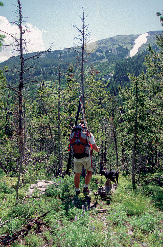 Approaching the Blaze
Run the Beaten Path
Yuki Davidoff, a photographer and software engineer at onXMaps, plans to run this marathon-distance point-to-point from East Rosebud to Cooke City. Nearly 3,500 feet of elevation gain and incredible views make this a classic Beartooth epic. Ideal from July to September, the trail is clearly marked and well worn, and there are plenty of lakes and waterfalls along the way—“I’m really look forward to seeing that many lakes in one day,” Yuki says. There are plenty of creeks, too; most rage with snowmelt through the month of July, and some must be crossed sans bridge. Plan accordingly.
The East Rosebud trailhead is about three hours from Bozeman, but expect another couple hours for the car-shuttle to Cooke City. You can also key-swap with another party running the opposite direction. It’s tempting to go light, but remember that you’ll be in the middle of the wilderness for a long time. A few extra safety and comfort items are worth the weight.
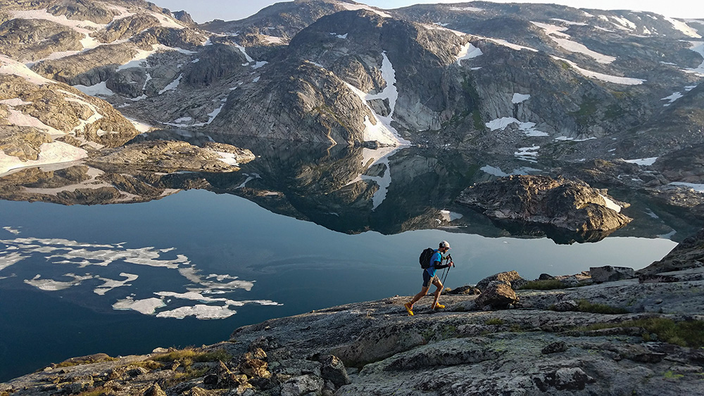 Big views on the Beaten Path
Bike from Bozeman to Livingston
For Alasdair Boyle, a Summit bike mechanic and Intermountain mental-health specialist, a long road-bike tour makes for a fine summer day. This year, he’ll head out from his house in Bozeman and end up at Neptune’s or Katabatic in Livingston. “It’s a little over 60 miles roundtrip,” Boyle says, “and I would certainly say it is epic.” He adds that a good destination always helps with motivation for completing a long haul.
There are a few different bike routes from Bozeman to Livingston, but Boyle’s is the most direct: head out Kagy to the interstate, ride the shoulder to Trail Creek, then take Glasgow to Bozeman Hill to Frontage Road, and finally Hwy. 10 into downtown Livingston. In case you were wondering, biking on the interstate is legal in Montana.
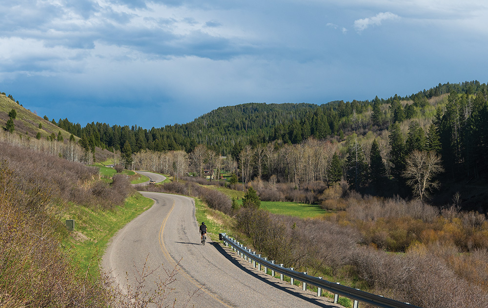 On the road to Livingston
Paddleboard the Missouri Headwaters to Toston Dam
Brigitte Schulze, a holistic self-defense instructor who loves dragon-boating and paddling her outrigger canoe, often paddleboards rivers in June and July. She’s planning on extending her normal jaunt, from Three Forks to the Headwaters takeout. “There are bald eagles along the way,” Schulze says. “You might even see a moose, if you’re lucky.” Her route is 23 miles, from the Three Forks put-in to the Toston Dam, 13 miles south of Townsend.
If you aren’t familiar with this stretch, you’ll want to make sure you don’t veer off into one of the many tributaries near Three Forks—these don’t necessarily take you back to the main stretch of the river, and could require a long back-paddle or portage through swampy grass. You can take a break at the Headwaters or farther downstream at the Fairweather access site before continuing on—both are good spots to bail if the weather turns. For an even longer float, portage around the dam and continue on to Townsend.
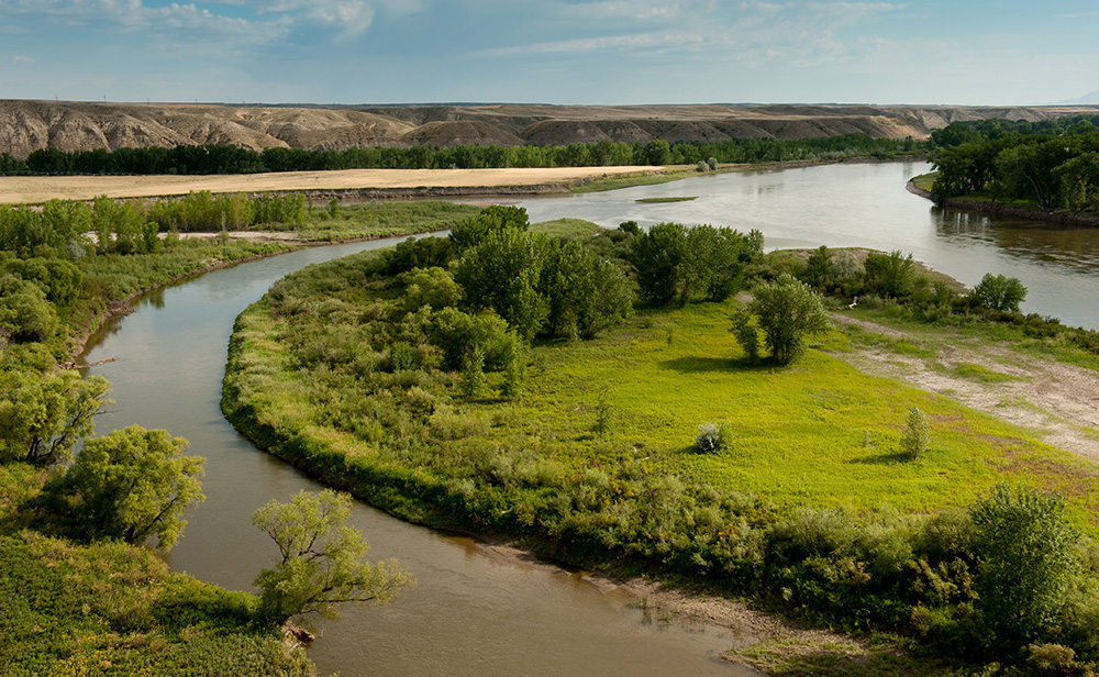 The meandering Missouri Headwaters
Hike to Elbow Lake
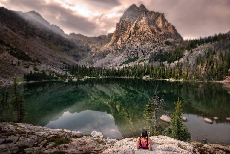
Tara Kramer, freelance writer and operations manager at Polar Bears International, has spent years on Arctic snow fields and is no stranger to discomfort. She recommends a long hike starting near Emigrant, ending up at the base of 11,206-foot Mount Cowen, the tallest peak in the Western Beartooths. This is a long haul that most people do as an overnight trip, with more than 3,000 feet of vertical gain in seven miles. Depending on the snowpack, you might want to wait until July or even August for this one. “I’d walk all day to stand below a peak as striking as Mt. Cowen,” says Kramer. “Even if summiting must wait for another trip.”
This hike begins at the East Fork Mill Creek trailhead, which is at the end of Forest Road 3280, off the main Mill Creek Road. It’s a long, beautiful hike through remote wilderness. Bring bear spray, sunscreen, and plenty of water. If you’re an angler, pack a rod and try your luck—the lake is loaded with small but feisty trout.
If this outing isn’t extreme enough, shave off a couple hours by running to the lake and then summiting Mount Cowen, another 2,500 feet above. This option, however, might mean a late finish and thus preclude a post-epic visit to Chico to soak those trail-weary bones.
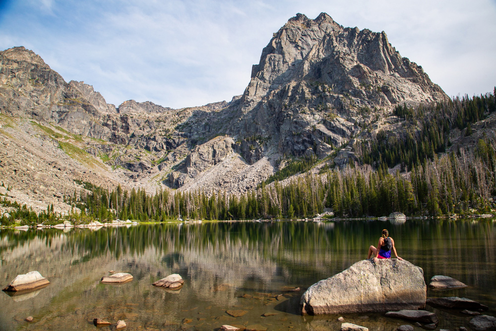 Taking a break at Elbow Lake

