Map: Global Positions TerraTopo

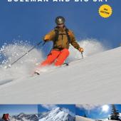
For detailed topography on the East Rosebud to Cooke City route—as well as the rest of the Absaroka Beartooth Wilderness—pick up a copy of Jere Folgert’s excellent TerraTopo map from any local bookstore or outdoor shop. Combining navigational readability with colorful, elegant renderings, the TerraTopo covers everything from trailheads and campgrounds to the naturalist information about the area. An artful blend of cartographic techniques results in an accurate elevation guide with a striking three-dimensional appearance.
The TerraTopo also provides full-color drawings and descriptions of large mammals and fish species common to the area. Plant, lichen, and mushroom identification charts; a first-aid section for emergency treatment of minor injuries; and a waterproof coating round out this excellent map’s offerings.
Visit TerraTopo's website here.