Maps: Jefferson River Canoe Trail

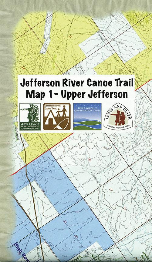
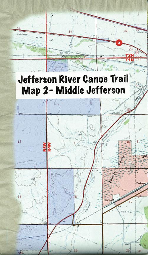
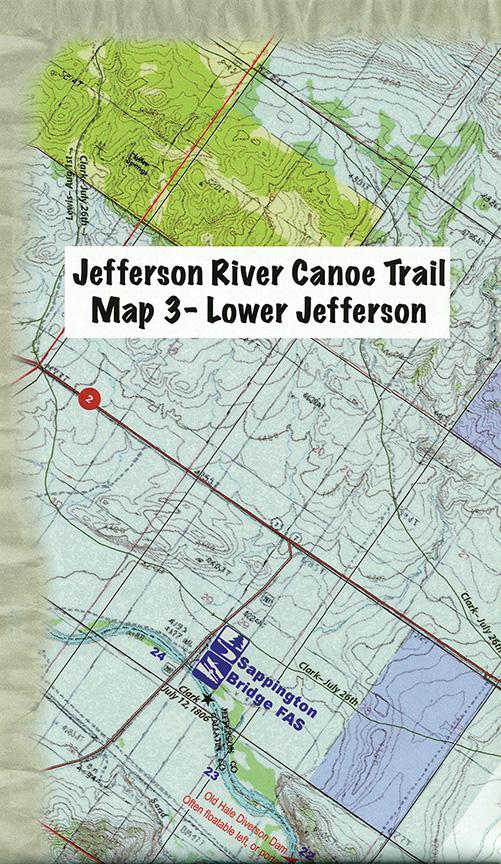
Instrumental to a successful outing on the Jefferson—be it a lazy, half-day float or an overnight adventure—are Thomas Elpel’s new Jefferson River Canoe Trail maps. These pocket-sized, water-resistant fold-outs offer a bird’s-eye view of the entire river, broken into three sections: upper, middle, and lower. From Twin Bridges to Three Forks, you’ll find access points, camping areas, and historical sites, as well as conversion-dam locations and other safety information. Also included is great lunchtime and campfire reading material: fish and wildlife info, canoe-packing tips, legal considerations, and fascinating excerpts from the Lewis & Clark journals. Canoeists, anglers, paddleboarders, birders, and history buffs alike will find these maps both interesting and indispensable. Available for $20 (set of three) at jeffersonriver.org.