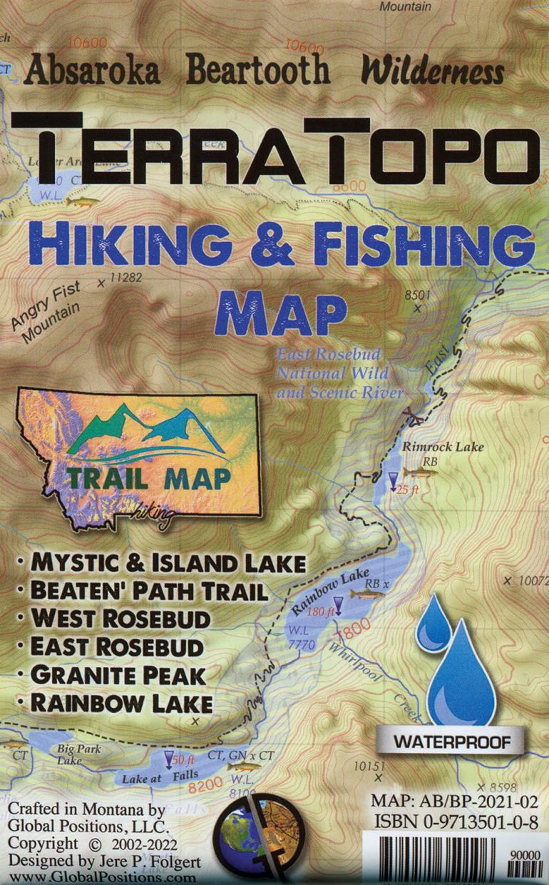
Map: Terra Topo Hiking & Fishing Map
The wait is over—at long last, there’s a new edition of the popular TerraTopo trail map (Global Positions, $12), a hiker’s and angler’s guide to the Beaten Path area of the Beartooths. With East Rosebud and Mystic Lake near the top, and Hwy. 212 and the Wyoming state line at the bottom, this map covers a vast swath of some of the coolest country in the Abasaroka-Beartooth Wilderness, including Granite Peak and Froze-to-Death Plateau. Although it comprises just one section of the entire Beartooth Range, the number of lakes, peaks, and trails shown is enough to keep you busy for years. Handy info on the back includes basic first-aid and identification tips for common mushrooms, plants, fish, and mammals you might encounter along the way. The TerraTopo folds up tight and tucks into a pocket, so it’s always at the ready—which is exactly where you want it.

