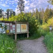
M to Mt. Baldy Trail
Length: 8 miles (round-trip)
Duration: 4-7 hours
Difficulty: Hard
Elevation Gain: 4,300 feet
Activities: Hiking, trail running
Crowds: Moderate traffic
About
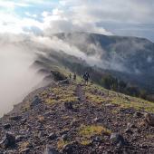
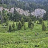
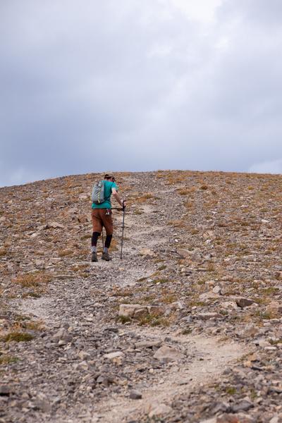
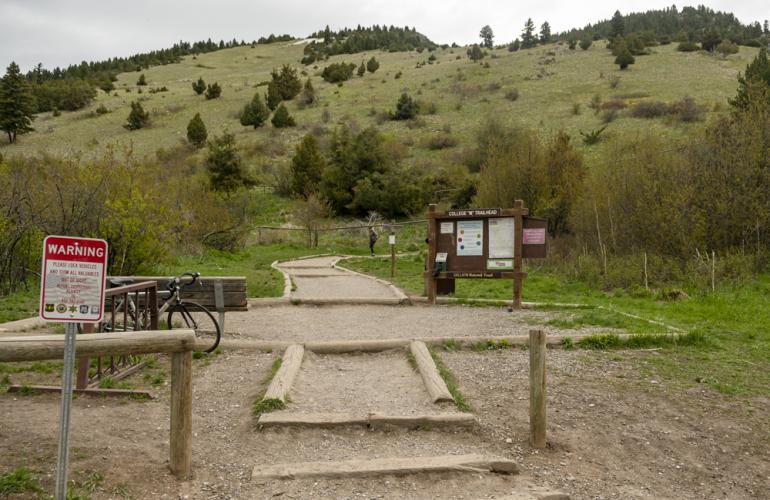
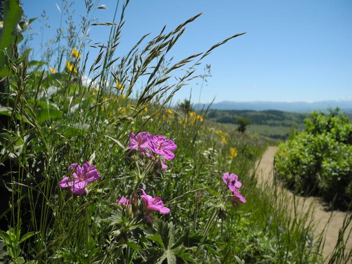
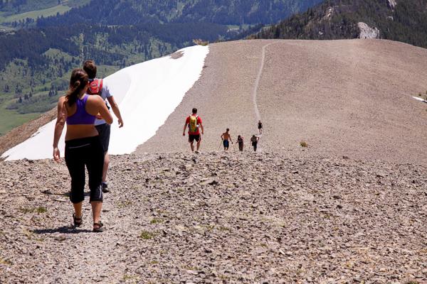
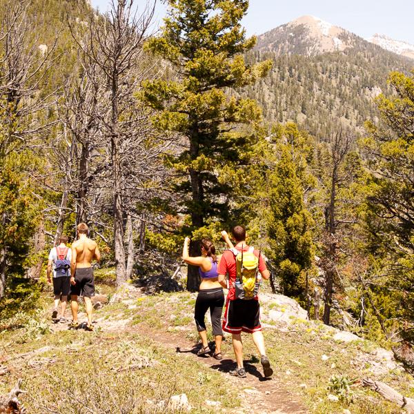
Mt. Baldy has a couple different approaches; this is the steepest trail with about 4,300 feet of elevation gain over 4 miles. From the M trailhead, hike up past the M to an overlook on the ridge with views into Bridger Canyon. Stop and take a breather, then traverse up along the ridge, into the trees and past a few high points with rocky outcroppings. Enjoy a more leisurely stroll through a vast ridgetop meadow, then climb up to one more rocky point, after which is the final ascent: a steep climb up a scree-covered slope (complete with a couple false summits, of course). As expected, the views on top are incredible.
Seasonal Conditions
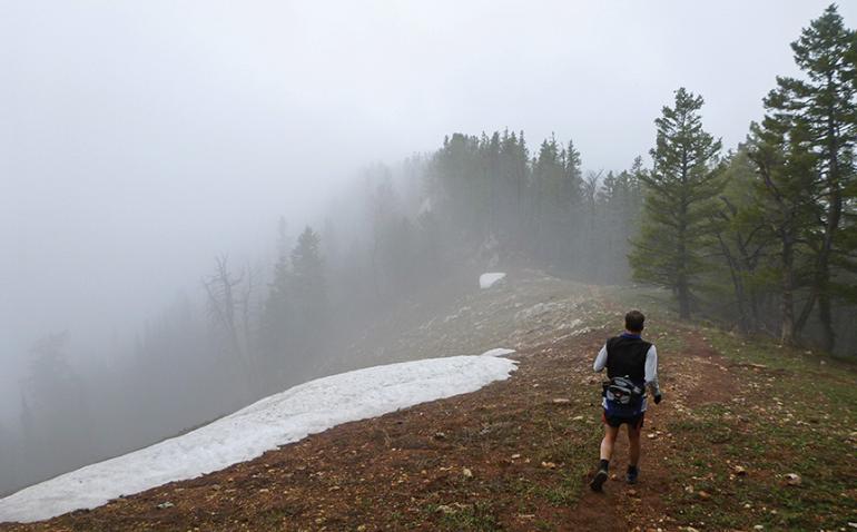
This steep trail gets very windy, so weight down your dog (and your hat) appropriately. Snow lingers on the trail into early summer, drying up through the fall. Be sure to bring plenty of water on warm summer days as this trail is very dry and has little shade. You can hike the trail during winter, too; just make sure you have all the right gear for slick, snow, and bitter cold.
Directions
Go north on Rouse Ave., which becomes Bridger Canyon Rd. After a few miles, turn left into the signed parking area, just before a narrow constriction between the Bridgers and the Story Hills.
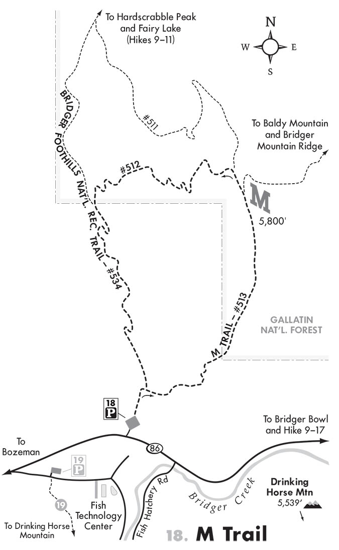
Map courtesy of Robert Stone's Day Hikes Around Bozeman, Montana.
45.7099249, -110.9773369